Use your smart phone or digital camera to participate in the Project by taking and uploading photos of king tides through the King Tides Photo Upload form. Start by choosing where you’ll go to take your photos and then look at the tide map below to find out what time and how high your king tides will be. Take your photos as near to high tide time as you can. Your photos will be displayed on an interactive map. (If you’d like to share a video clip of king tides with us, you can upload it here. Email kingtides@coastal.ca.gov if you have questions.)
* LEARN HOW TO UPLOAD YOUR KING TIDES PHOTOS *
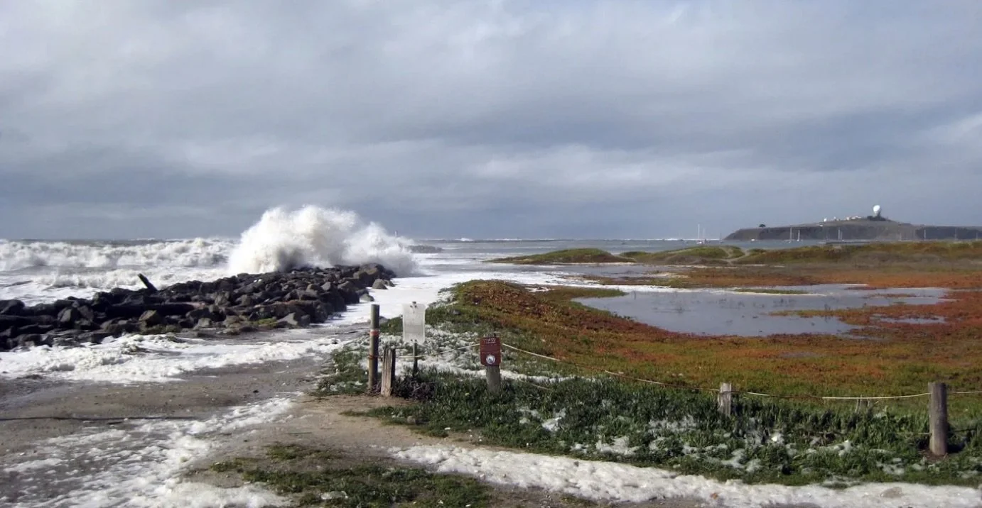
The most important thing to remember is to be safe! Take extra precautions when you walk on slippery areas or near big waves, and always be conscious of your surroundings and the weather conditions. Don’t turn your back on the ocean! Please be aware that shore birds may be taking refuge in areas above the tide line – don’t flush them out in the process of getting your shot.
Some of the most powerful images are taken in areas that are subject to flooding and erosion, and of places where high water levels can be gauged against familiar landmarks (such as cliffs, rocks, roads, buildings, bridge supports, sea walls, staircases, and piers).
In addition to uploading your photos, you can also share them on social media using #kingtides. We’ll be liking and sharing your posts throughout the King Tides season.