Snapshot Cal Coast
/
Snapshot Cal Coast 2025 is happening June 1-30! Help document California’s amazing biodiversity, whether on your own or at a bioblitz event near you.
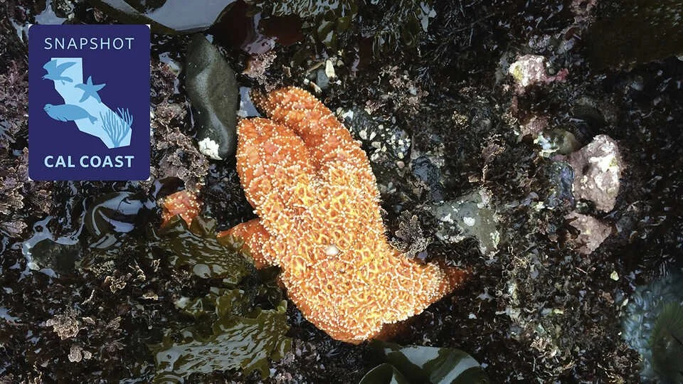
Each summer, the California Academy of Sciences, in partnership with the California Ocean Protection Council, the California Department of Fish and Wildlife, the Marine Protected Area Collaborative Network, and many other supporters, invites communities from Del Norte to San Diego to help capture observations of plants, animals, and seaweeds along our stunning coastline using the iNaturalist app.
By creating a real-time snapshot of species across the state, we’re building a community of citizen scientists and providing valuable data for researchers at every level. While we focus on the rocky intertidal zones, we’re excited to gather information from all coastal habitats—sandy beaches, wetlands, bays, docks, and more. Let’s work together to learn more about the California coast—and we can’t wait to see you out there!
Getting started is a snap!
Participating in Snapshot Cal Coast is as easy and fun as a day at the beach. Get started in six easy steps:
Create an account to start making observations.
Join the Snapshot Cal Coast 2024 iNaturalist project
Head to the coast on your own time or during a bioblitz to make and share observations of plants and animals you see, especially species on our "most wanted" list (see below).
Observe during low tide. You can use this tool made by our team to find lowtides anywhere in California. Or you can use NOAA's tide table to find exact times for low tides near you.
Spread the word with hashtag #SnapshotCalCoast!